Event JSON
{
"id": "b4fc55d8a205f361fdc41326ec73c5a0eeb792d8d47e1e56cd062f60ad6d2e44",
"pubkey": "ba32d49d1d5a3a78b52e5e486f540ec6883a2a4b9c272b06eeb2af61b772b857",
"created_at": 1716048057,
"kind": 1,
"tags": [
[
"t",
"outdooractive"
],
[
"imeta",
"url https://files.mastodon.social/media_attachments/files/112/462/917/886/481/760/original/5f7d81cf1ef16c81.jpg",
"m image/jpeg"
],
[
"imeta",
"url https://files.mastodon.social/media_attachments/files/112/462/914/062/669/646/original/b0619b95b0b59bb4.jpg",
"m image/jpeg"
],
[
"proxy",
"https://mastodon.social/@hikingdude/112462925516685676",
"web"
],
[
"t",
"garmin"
],
[
"imeta",
"url https://files.mastodon.social/media_attachments/files/112/462/916/876/647/825/original/7cc54b452b6eb2ee.jpg",
"m image/jpeg"
],
[
"t",
"mountainbiking"
],
[
"t",
"mountains"
],
[
"t",
"mtb"
],
[
"t",
"cycling"
],
[
"proxy",
"https://mastodon.social/users/hikingdude/statuses/112462925516685676",
"activitypub"
],
[
"L",
"pink.momostr"
],
[
"l",
"pink.momostr.activitypub:https://mastodon.social/users/hikingdude/statuses/112462925516685676",
"pink.momostr"
]
],
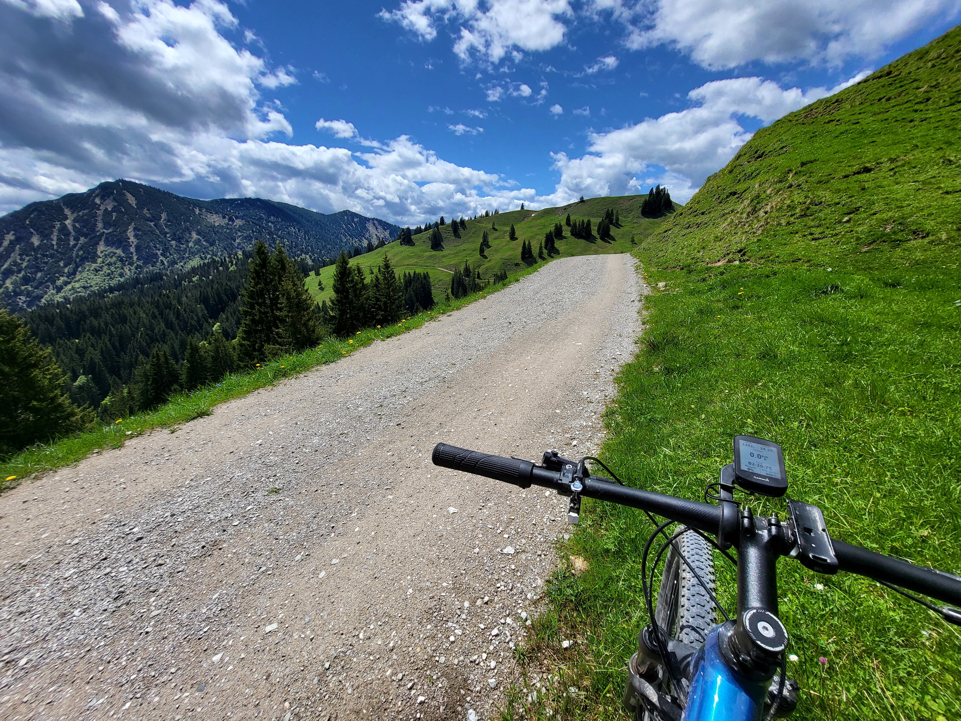
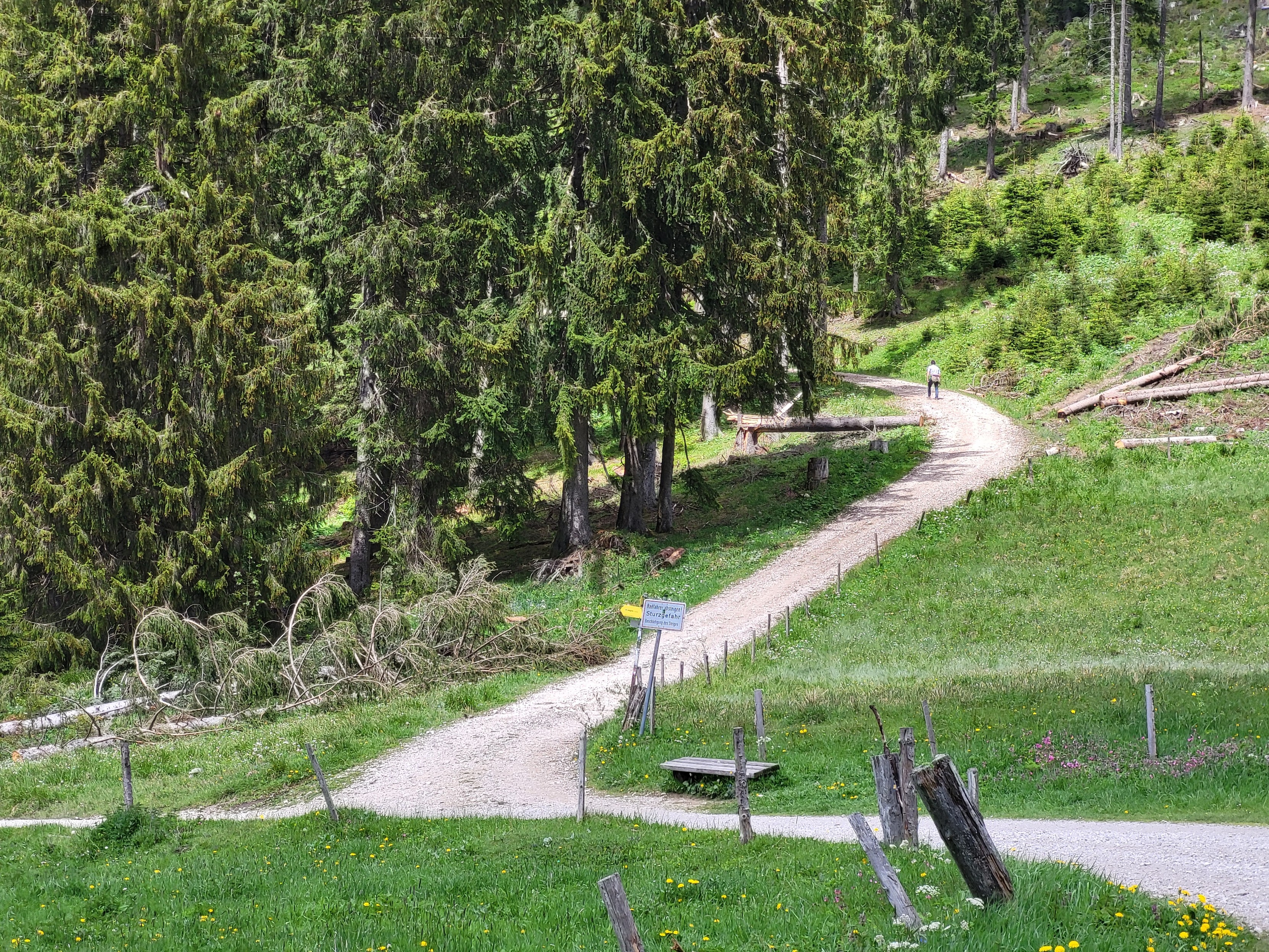
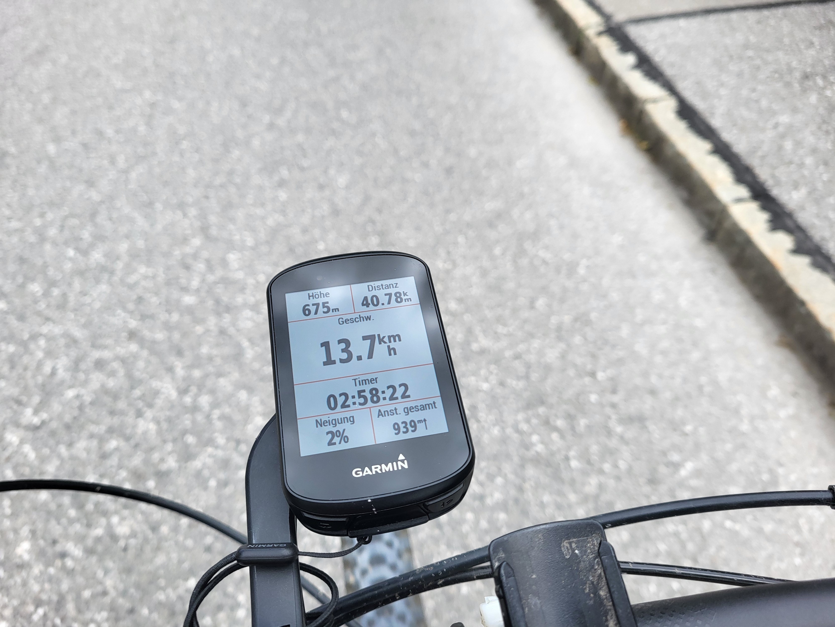
"content": "Elevation data is a true mystery: My routeplanning on #OutdoorActive says that my route covered 854m elevation.\n\nMy cycling computer with a barometer says, I covered 941m.\n\nAnd if I turn on elevation correction on #Garmin connect, it's 1146m\n\n... uhm - well - okay. Let's agree on \"I did some #mountainbiking today and it was a lot of fun\" 🤷♂️ -- And it took me just 3h instead of the 4:40h planned by OutdoorActive.\n\n#mountains #mtb #cycling\nhttps://files.mastodon.social/media_attachments/files/112/462/914/062/669/646/original/b0619b95b0b59bb4.jpg\nhttps://files.mastodon.social/media_attachments/files/112/462/916/876/647/825/original/7cc54b452b6eb2ee.jpg\nhttps://files.mastodon.social/media_attachments/files/112/462/917/886/481/760/original/5f7d81cf1ef16c81.jpg\n",
"sig": "e5832da27b7d8bb260e82008ce7f3807f1e9a8d4d1a29f0df812c5fd4290dc223549851d27d130960eaf51b93a20ef8dfbdc5709e0401f1af3e8a29f24f5cf8e"
}


