Event JSON
{
"id": "ae459ec5ff5928ad2e878f3a91b765b2e09734c8d60f3762ec03ad4de1bf2a09",
"pubkey": "fa0aea1c8c1d0ee2e2565f3c63f89da047c821242ce7f78ebf149688db213ef7",
"created_at": 1697707089,
"kind": 1,
"tags": [
[
"p",
"932876d50871bc99621d2ece2674d31b53525ad1b79e08fc4690ab91cea3fbee",
"wss://relay.mostr.pub"
],
[
"p",
"34240e776c42958d958ca472cc693f5f50aed00260b1ef74a36920f4695f2cb1",
"wss://relay.mostr.pub"
],
[
"e",
"f58bfb9d5efd4a1924b2d953cf7ffdd60671944ed3e68286c92a9718450a7722",
"wss://relay.mostr.pub",
"reply"
],
[
"proxy",
"https://mastodon.social/users/samerfarha/statuses/111260931829467685",
"activitypub"
]
],
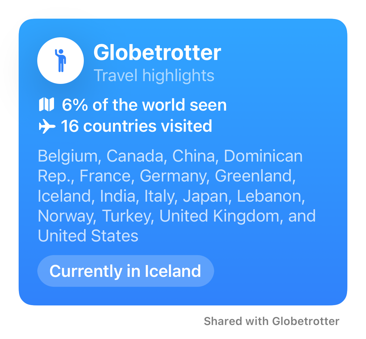
"content": "nostr:npub1jv58d4ggwx7fjcsa9m8zvaxnrdf4ykk3k70q3lzxjz4ern4rl0hqzde22d mine shows two countries that I haven’t been to but have flown over. Greenland and Turkey. I don’t know how you fix that, but it is making me wonder if the data in the image shows altitude and speed?\n\nhttps://files.mastodon.social/media_attachments/files/111/260/930/918/460/780/original/b0155d3c38975c7b.png",
"sig": "6a6ac01200270b91e13c67335db3d228af4bdf56ec2324e2043679e0bcce4971b3fe7d3ffab5dd65722d36d96c5d8322e420ccf0101370dde07b4d3aeb2a593f"
}


