Event JSON
{
"id": "0e45e9e1301fca267944acdbb15cbedfd5ed7bbfdece20dca71ee600bd931b6b",
"pubkey": "edf86a9d3e77a6f70e0b421df2c0e09bb13ec9f1a836d00d0cbed1bc2953a606",
"created_at": 1744279791,
"kind": 1,
"tags": [
[
"r",
"https://www.foxnews.com/tech/cutting-edge-drone-tech-maps-land-water-laser-accuracy"
],
[
"subject",
"Cutting-edge drone tech maps land and water with laser accuracy"
],
[
"published_at",
"1744279251"
],
[
"image",
"https://static.foxnews.com/foxnews.com/content/uploads/2025/04/2-high-tech-drone-maps-land-and-water-with-laser-accuracy.jpg"
],
[
"p",
"edf86a9d3e77a6f70e0b421df2c0e09bb13ec9f1a836d00d0cbed1bc2953a606",
"wss://articles.layer3.news"
],
[
"imeta",
"url https://static.foxnews.com/foxnews.com/content/uploads/2025/04/2-high-tech-drone-maps-land-and-water-with-laser-accuracy.jpg"
],
[
"t",
"conservative:perspective"
],
[
"summary",
"The Navigator system is a game-changer for environmental research, allowing scientists to track coastal erosion, monitor underwater biodiversity habitats, and assess coral reef degradation with unprecedented accuracy. Its applications include tracking sediment movement, evaluating sea-level rise impact zones, and documenting changes in marine ecosystems."
]
],
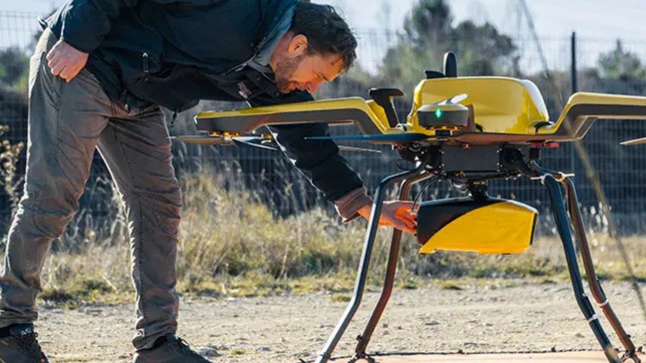
"content": "nostr:nprofile1qyd8wumn8ghj7ctjw35kxmr9wvhxcctev4erxtnwv4mhxqpqahux48f7w7n0wrstggwl9s8qnwcnaj034qmdqrgvhmgmc22n5crquwn0h8\nhttps://static.foxnews.com/foxnews.com/content/uploads/2025/04/2-high-tech-drone-maps-land-and-water-with-laser-accuracy.jpg\nNew drone technology maps land and water with stunning accuracy, giving researchers and conservationists a new way to understand our planet.\nhttps://www.foxnews.com/tech/cutting-edge-drone-tech-maps-land-water-laser-accuracy",
"sig": "9ee30b8dec67abefde97c8cccab60556a030328cc7b666f57b05a0c689ca3533c4728a321db6becc209cbc6fc3d3a5ab88160367d88fdc399a8c4b1dd0ec07c9"
}