Event JSON
{
"id": "36571a5386fbc4fef6e46053259f39d55fc6545cef5f736983dbd11c12e6290f",
"pubkey": "be3a01e8dd1d5b102587e938991fcdb7b6374555999b5c88c175d6978661b95b",
"created_at": 1710857984,
"kind": 1,
"tags": [
[
"t",
"alpine"
],
[
"t",
"openaccess"
],
[
"t",
"utah"
],
[
"t",
"soil"
],
[
"t",
"water"
],
[
"t",
"landscape"
],
[
"t",
"alpine_research"
],
[
"t",
"alpine_forschung"
],
[
"t",
"dustsquared"
],
[
"t",
"geophysics"
],
[
"t",
"gpr"
],
[
"proxy",
"https://fediscience.org/users/jmunroe/statuses/112122788849253839",
"activitypub"
]
],
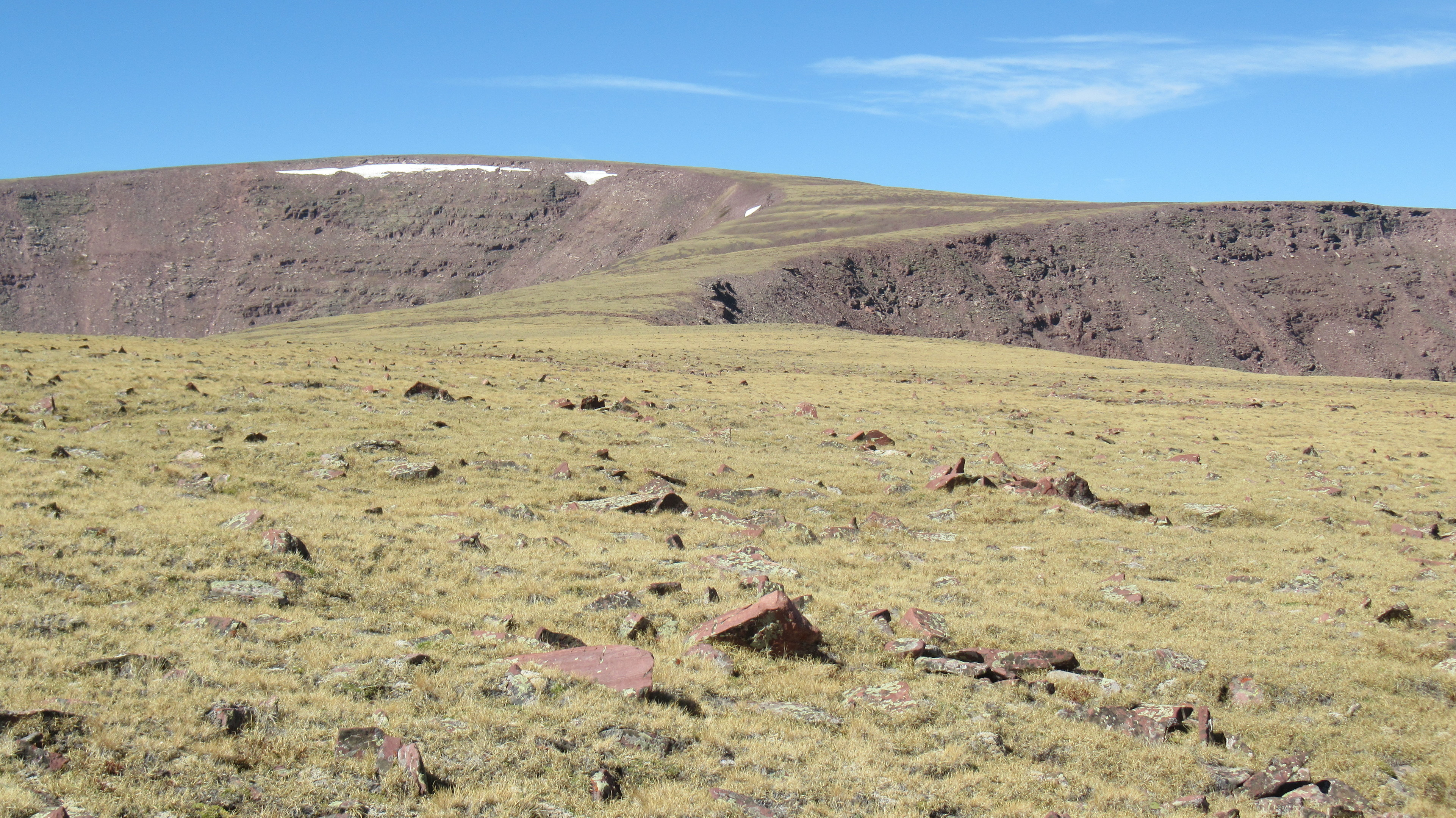
"content": "Like #alpine zones and high mountain landscapes? I just published an #openaccess paper using ground penetrating radar to look beneath the gently sloping surface of high ridgelines in the Uinta Mountains of #Utah. It turns out that the bedrock surface beneath that smooth cover of soil is surprisingly rough, which has implications for #soil formation, #water storage, and #landscape evolution.\n\nhttps://www.tandfonline.com/doi/full/10.1080/15230430.2024.2322334\n\n#alpine_research #alpine_forschung #dustsquared #geophysics #gpr\n\nhttps://fediscience.org/system/media_attachments/files/112/122/747/065/351/094/original/df49dbacae02967c.jpeg",
"sig": "c44ade1b5dc3177fc31ab2f9089f70154fdda62ac9c7f3d86cd789d9293a2ba8582e7a3643c1c6b169595d15678397ce6030d6d460e0f071fbe2443786819d9e"
}