Event JSON
{
"id": "0bc34b7dbdf13333b90c5eaefb9195241bac7b8bd86e3ba09504bd3d3ce8cb7e",
"pubkey": "d01eacfd00b7f2a378b497947f4d71e1fd3d665a69ee2f5b1f0371ba8e4d5c3d",
"created_at": 1717328272,
"kind": 1,
"tags": [
[
"t",
"nature"
],
[
"t",
"BritishColumbia"
],
[
"imeta",
"url https://pixelfed.de/storage/m/_v2/530768910092248279/530d83cd3-f15549/Jy5zVAFl6ER8/6MTz3P4JeIAIqxfMbOBuOtfNOU4bb3zPzokz4QPe.jpg",
"m image/jpeg"
],
[
"t",
"oldphoto"
],
[
"t",
"themountainiscalling"
],
[
"t",
"hiking"
],
[
"proxy",
"https://pixelfed.de/p/bencardoen/702845697575660284",
"web"
],
[
"t",
"pnw"
],
[
"t",
"hike"
],
[
"proxy",
"https://pixelfed.de/p/bencardoen/702845697575660284",
"activitypub"
],
[
"L",
"pink.momostr"
],
[
"l",
"pink.momostr.activitypub:https://pixelfed.de/p/bencardoen/702845697575660284",
"pink.momostr"
]
],
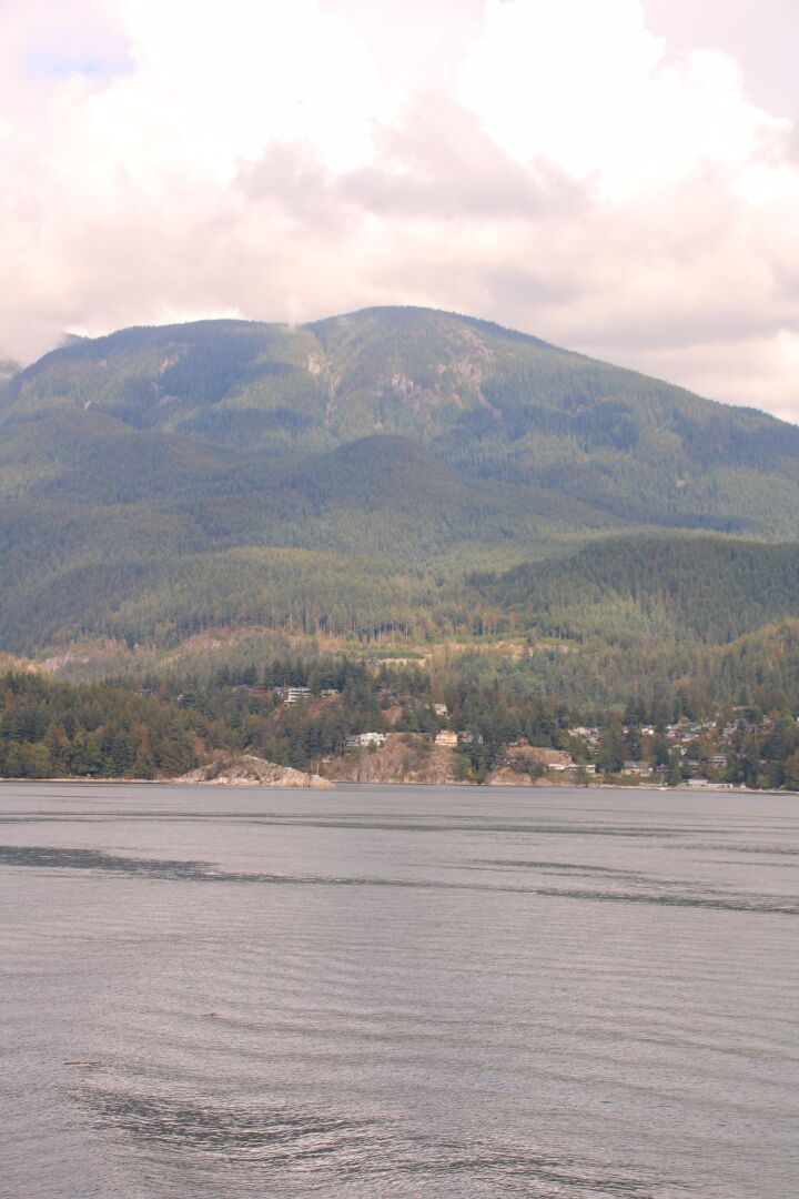
"content": "View of Black Mt from the ferry to Nanaimo. A steep trail runs from the highway through the second growth forest to the rocky outcrops. A memorable #hike , and I quite like how the scree field that announces the final ascent looks tiny in comparison, yet when you cross it, it seems endless and a great way to get lost, as there's no flagging (when I did it), and the boulders are half my size. I got lost and had to backtrack more times than I can count. (can you spot the scree field?) #hiking #pnw #themountainiscalling #nature #britishcolumbia #oldphoto\nhttps://pixelfed.de/storage/m/_v2/530768910092248279/530d83cd3-f15549/Jy5zVAFl6ER8/6MTz3P4JeIAIqxfMbOBuOtfNOU4bb3zPzokz4QPe.jpg\n",
"sig": "8baaa327216763bd09c3d677a8c6b642e9f756f19f35cdc94aea52045b0e105aac07267d005c5ed44970d4eefd7d06ed8380da1e81d4e2bdef7441cdd5fc110c"
}
